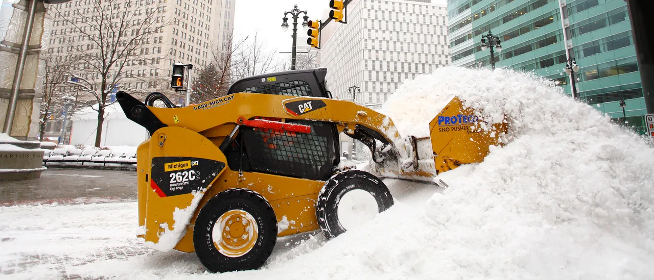
Parts of the Great Lakes region are on track to receive feet of additional snowfall by Tuesday, driven by successive waves of intense lake-effect snow moving through the area.
As of Thursday, snow is already impacting the shores of Lakes Erie and Superior in New York, Pennsylvania and Ohio — locations that are perennial hotspots for lake-effect events.
A low-pressure system is expected to move across the Upper Midwest and Great Lakes into Sunday. Once it progresses eastward, it will become entrenched within a pronounced dip in the jet stream, ushering in a steady supply of cold air and priming the region for more snow. (RELATED: Rare Snow Possible In Florida, Georgia As Arctic Cold Sweeps South)
Through the weekend and into early next week, repeated bands of lake-effect snow will continue to develop, with locations along the eastern shoreline of Lake Michigan potentially…