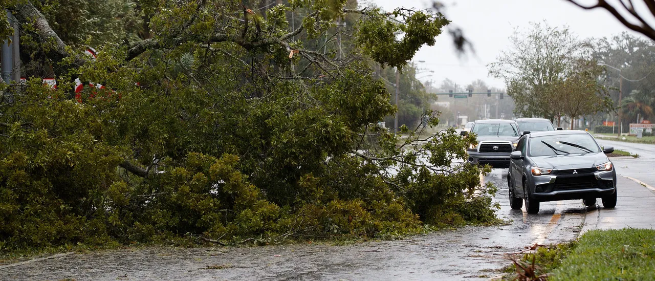
Two cross-country storm systems are taking shape and advancing eastward from the western regions into the Midwest, bringing multiple waves of intense rainfall and widespread severe thunderstorms that could impact millions in the South with risks of tornadoes, powerful gusts and flash flooding.
Abundant humidity combined with significant wind shear is creating the ideal conditions for typical severe weather in the South, though the peak atmospheric instability is expected to stay closer to the Gulf Coast
More than eight million residents face a Level 2 out of 5 risk for severe thunderstorms across sections of Louisiana, Mississippi and western Tennessee, with the core threat zone stretching from Baton Rouge, Louisiana, northward to Memphis, Tennessee and eastward toward Birmingham, Alabama. (RELATED: Tornado Hammers Purcell, Oklahoma Leaving Trail Of Damage Amid Severe Weather…