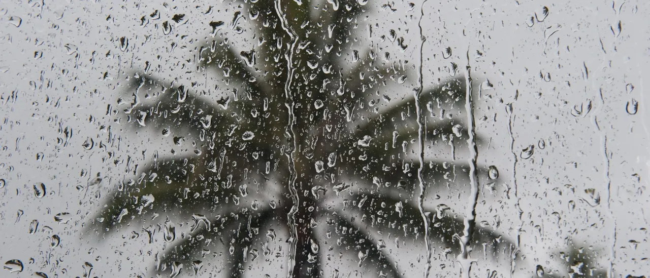
A robust cold low-pressure system is intensifying over Hawaii into early Tuesday, leading to more active winter weather with widespread heavy rainfall, thunderstorms and wintry conditions aloft.
The Kona low-pressure system, positioned north of the Hawaiian Islands, is gradually shifting southward toward the state as its linked band of precipitation expands, resulting in hazardous conditions throughout the archipelago.
Currently, lower-level winds are converging across O’ahu and Maui County, with several thunderstorms developing in the open waters north of O’ahu and to the west of the Big Island. (RELATED: Looming Storm Threat Could Potentially Unleash Snow, Hail, Rain To United States)
Over the coming days, a steady southeasterly wind pattern will keep channeling abundant tropical moisture toward the mountain slopes of the Big Island and Maui County, raising the…