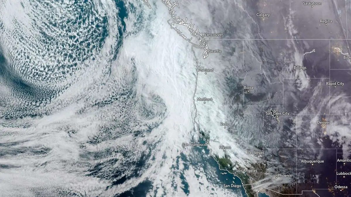
As seen in the satellite image below, a powerful atmospheric river stretches thousands of miles across the Pacific, funneling concentrated tropical moisture into the U.S. West Coast like a firehose aimed at the shoreline.
🌊 Atmospheric River Engulfs the West Coast
A massive atmospheric river is currently aimed straight at the U.S. West Coast.
A long, concentrated plume of tropical moisture stretches thousands of miles across the Pacific — funneling water vapor toward Washington, Oregon, and California like a firehose pointed at a coastline.
Flooding. Landslides. Mountain snow stacking deep. Roads closing. Rivers rising.
These systems can carry more water vapor than the Amazon River.
And this one is parked.
Hopefully the…