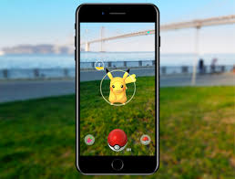
Back in 2016, when Pokémon Go exploded across the world, I wrote that people should be asking a simple question: why would investors spend billions creating a game that encouraged hundreds of millions of people to walk around with GPS-enabled devices, cameras, and location tracking operating continuously? At the time, most people laughed. They saw a harmless game. What they failed to understand is that in the digital age, data has become more valuable than oil.
Now we are discovering that nearly 30 billion images collected from Pokémon Go users over the past decade helped create one of the most sophisticated three-dimensional mapping systems ever assembled. According to recent reports, Niantic Spatial used those scans to build a visual positioning system capable of allowing robots and drones to navigate even when GPS signals are unavailable. Researchers claim that this technology…